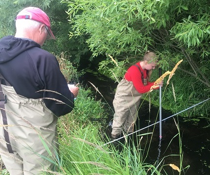
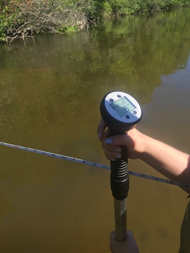
Water velocity x depth x width = Good times in the river

This spring, MiCorps awarded stream flow monitoring grants to two organizations. Stream flow monitoring is a pilot parameter in 2016, meaning that these groups are the first to use these procedures and equipment and one of their jobs is to find any issues that may trip up future groups.
Benzie County Conservation District, who also participates with MiCorps in macroinvertebrate monitoring, is monitoring the inlets and the outlets of Crystal Lake in order to gain a better understanding of its hydrologic balance and to be able to see relationships between water flow, water quality, and water use.

Dickinson County Conservation District is monitoring the streams of the Sturgeon River system, a tributary to the Menominee River. Their goal is to identify agricultural water withdrawal impacts on the river system.
Both groups are producing data that the Michigan DEQ will be able to use as a screening tool in their work assessing and permitting water withdrawals around the state.
The groups are monitoring approximately 10 locations. The procedures call for each site to be monitored three times in baseflow conditions during the summer months (July-August-September). Both groups have completed their July measurements and will soon be starting their August measurements.
As a data quality check, the groups also take flow measurements near a USGS gauge to check their flow numbers against the highly accurate and maintained stream flow equipment. John Ransom of the Benzie CD reported that in July, their flow measurement was within 3% of the USGS gauge! This is great news to see that the Benzie CD staff are producing such accurate results using the MiCorps procedures, and hopefully we will continue to see such high agreement as the measurements continue through the summer.


